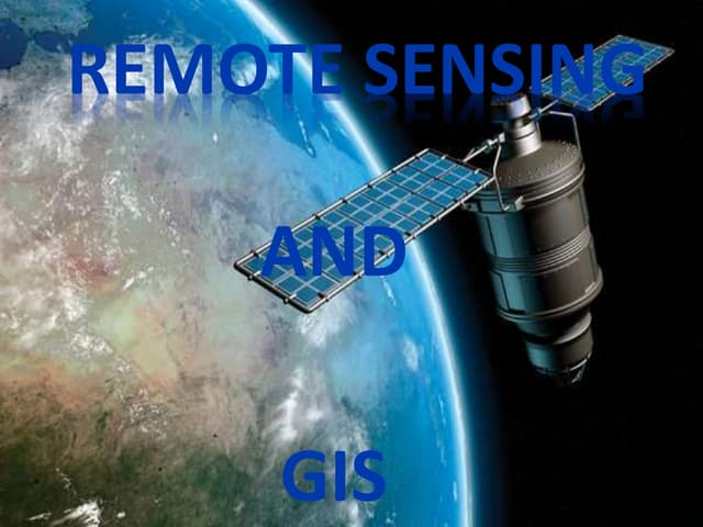
M.Tech. in Remote Sensing and GIS is a postgraduate degree that provides students with enhanced knowledge and abilities in geospatial technology. This 2-year course focuses on integrating remote sensing, geographic information systems (GIS), and satellite-based spatial analysis to address complex environmental, urban, and industrial concerns. The curriculum covers image processing, geostatistics, spatial modeling, and geospatial application development. With a focus on research and innovation, students learn how to analyze and interpret spatial data for various industries, including agriculture, disaster management, urban planning, and natural resource management. The curriculum equips graduates to work in academia, government agencies, private companies, and research groups, tackling global concerns with geospatial solutions.